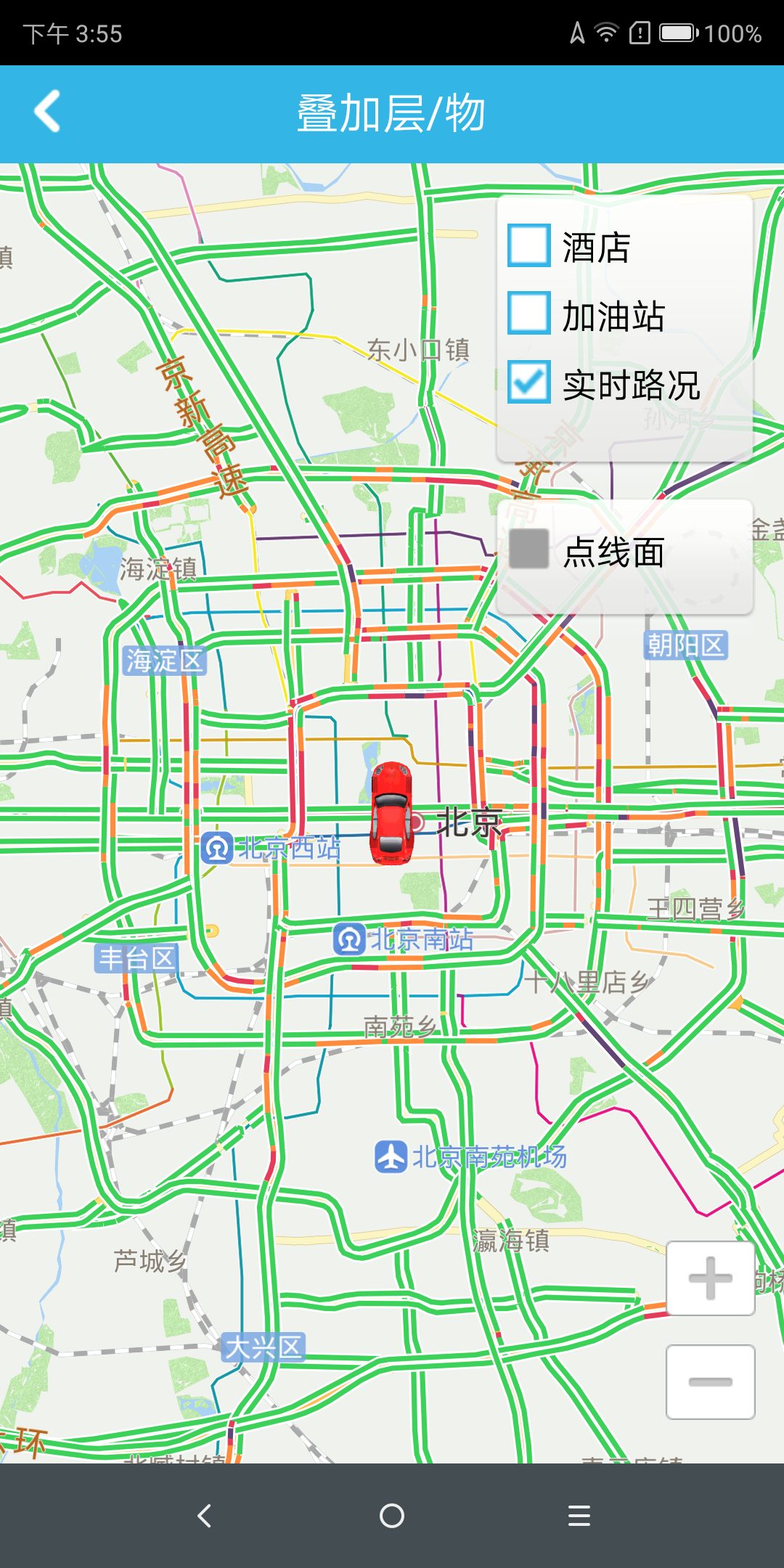
Map Layer
A map is made up of layers. A map can contain one or more layers. Each layer is composed of several tiles at each level, covering the entire surface of the Earth. For example, the map displayed by the user including the street, the point of interest, the school, the park, and the like is a layer. In addition, the real-time road condition is also realized through the layer.
Basemap
The basic map layer has a stepless zoom effect based on vector data, showing basic map information, including roads, streets, schools, parks, building roughs, and building models.
Live Status
[Navinfo Navigation SDK for Android] supports real-time traffic data in sub-city. Users can also provide their own real-time traffic data, which can provide display display. These real-time road conditions can also be used in navigation planning to avoid congestion, real-time road-based navigation. Display traffic information on the map, the main code is as follows:
                (For complete code, see OverlayActivity.java in the Demo project)
                // Get the map renderer
                mRenderer = mDemoMapView.getMapRenderer();
                // Real-time traffic overlay display
                mRenderer.enableTmc(true);
Real-time traffic map display effect:

