Routing
Routing refers to the calculation of multiple route plans to the destination by setting the starting point, ending point, waypoint, selecting the mode and preference of the route. It also supports a variety of avoidance logic, such as: avoid high speed / charge / ferry. In addition, you can generate an overview of the route, such as the length of the journey, the total amount of the toll, and the number of traffic lights. Support for rich route details. For situations where a route has been planned, the software automatically re-plans the route when the planning method changes or deviates from the route.
Experience nowCalculation Rules
Multiple Rules
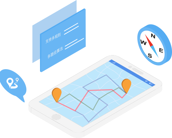
The routing supports multi-rule, multi-route algorithms. Based on road data attributes, navigation preferences and other information, multiple route plans can be given at one time, each route plan maintains the lowest comprehensive cost, and there are differences in road form.

Calculation Preferences

Support routing preferences
In addition to the regular multiple routes for users to choose, it also supports more detailed preferences. Includes: Avoid Congestion / Avoid High Speed / Avoid Ferry / Less Charge / High Speed Priority / Shortest Routing
Routing Details
Support Routing Details
Support for extracting overview and segmentation details for each route:
Overview: Full time / route length / toll fee / number of traffic lights
Details: starting point starting action/segment driving action/segment driving distance/segment avoidance limit line information (truck navigation mode)/end point arrival action
Interaction: Support for segmented browsing details on the route

Truck Navigation

Truck-specific routing, Safe and Reliable
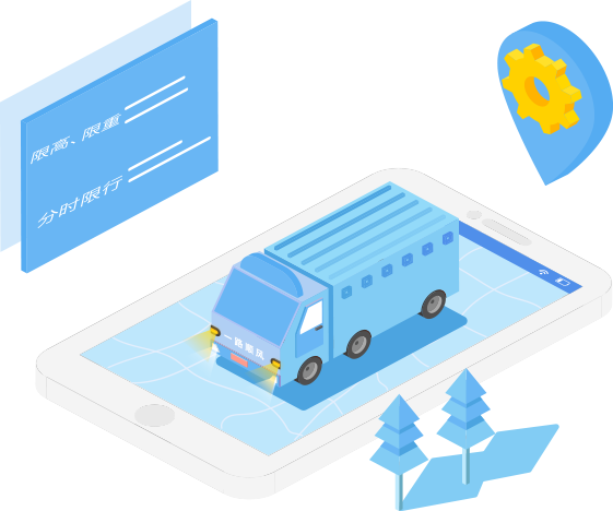
This feature requires the use of navigation data for the truck version. Truck navigation is a dedicated navigation designed for truck drivers and travel scenarios to ensure safe travel and avoid fines and penalty points. Users need to enter the vehicle parameters, such as license plate number, vehicle height, vehicle width, vehicle weight, number of axles, vehicle type, etc., to avoid height limit, limit weight and policy limit during routing planning, such as time-limited line, license plate Limit line. Correspondingly, support the query and display of the limit policy.
Range Map
Know EV Range and Drive Intelligently
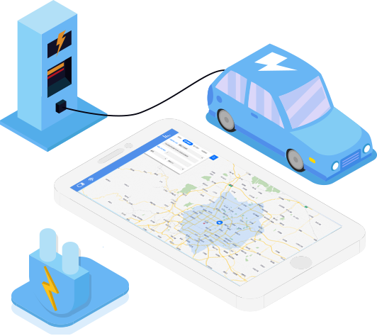
Visualize the current power to reach the maximum driving range
Benchmark data: current power, current location, car brand, model number
Output form: road network set + range drawing
Advantages: intuitive and easy to understand, easy for users to choose

Batch Calculations

Multiple Starting & Ending Points Routing
N*M routing
Optimize your travel plan
Help charging service provider travels smarter
